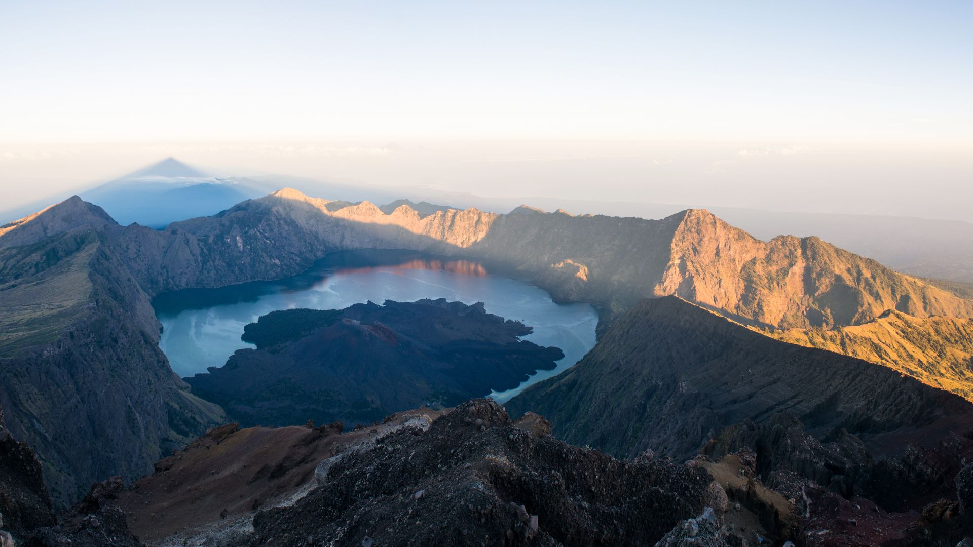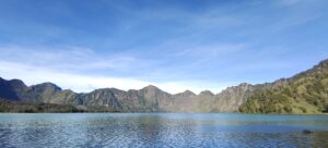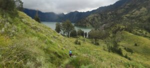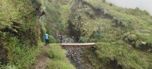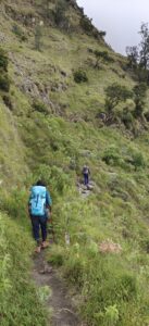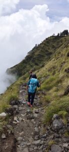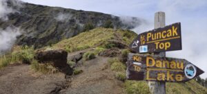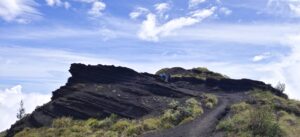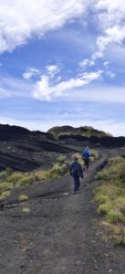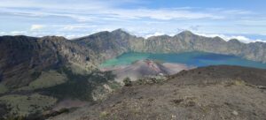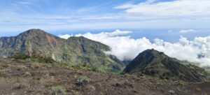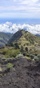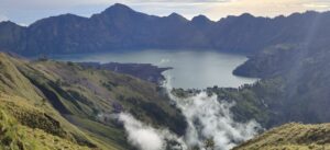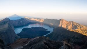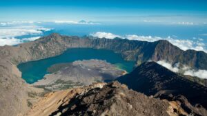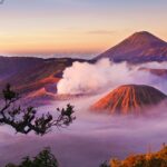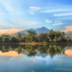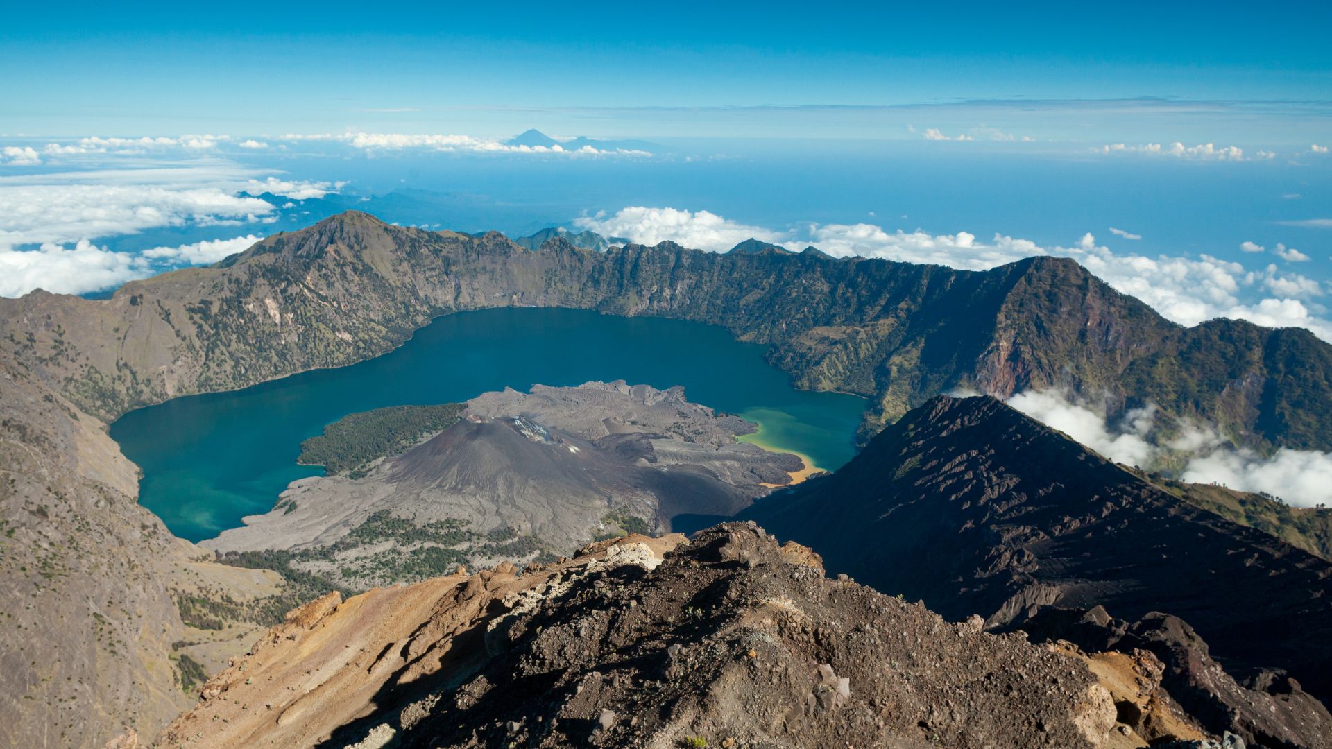
Hiking Mount Rinjani is an incredible adventure that offers stunning views and a challenging trekking experience. Mount Rinjani is an active volcano located on the Indonesian island of Lombok. It is the second-highest volcano in Indonesia, standing at 3,726 meters (12,224 feet) above sea level. The mountain is famous for its challenging trekking routes, stunning crater lake called Segara Anak, and breathtaking views of surrounding landscapes.
However, since Mount Rinjani is an active volcano, it occasionally experiences volcanic activity. Therefore, trekkers should check with local authorities for safety updates before planning their ascent.
The best time to hike Mount Rinjani is during the dry season, which typically runs from April to November. This period offers more stable weather conditions, making it safer and more enjoyable for hiking. However, before planning your hike, it is essential to check current weather forecasts and trail conditions since weather patterns can vary.
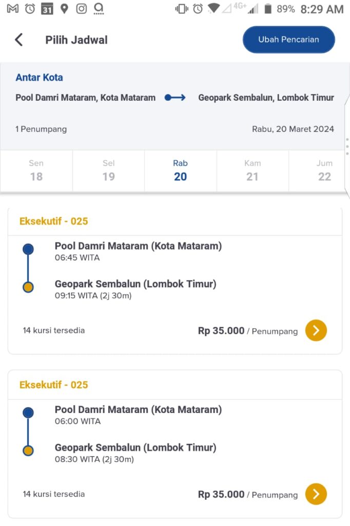
To reach Sembalun Geopark Rinjani, you can start by heading to Pool Damri Mataram (bus station) from the airport by taxi or Damri bus, which is approximately 40 minutes away. Once you arrive at the pool, you can purchase a ticket to Sembalun Geopark Rinjani for Rp 35,000. The entire journey should take about 2 hours and 16 minutes. Another option, you can purchase Damri bus ticket from Damri app.
Hiking Guide
Hiking and camping on Mount Rinjani is an incredible adventure but requires careful planning and preparation. Here’s a general guide:
Choose your route
Decide whether you’ll start from the Sembalun or Senaru trailhead based on your preference for scenery and difficulty.
Sembalun route:
The Sembalun route is one of the popular trekking routes to reach the summit of Mount Rinjani. The trek typically begins from the village of Sembalun Lawang, located on the eastern side of Mount Rinjani. Sembalun Lawang serves as the gateway to the national park and the starting point for most treks to the summit.
The Sembalun trek begins at Sembalun Village, with a challenging ascent to the Sembalun Crater Rim, where trekkers usually camp overnight. The second day involves a pre-dawn start to reach the summit of Mount Rinjani, which stands at 3,726 meters, offering breathtaking views. The trek ends in Senaru village, after descending to Segara Anak Lake and then to the Senaru crater rim. The trek typically takes 2-4 days and is considered challenging.
Senaru route:
The Senaru route is another popular trekking route to reach the summit of Mount Rinjani. The trek typically begins from the village of Senaru, located on the northern side of Mount Rinjani. Senaru also serves as the gateway to the national park and the starting point for treks to the summit.
The trek begin at Senaru village is surrounded by tropical forests and waterfalls. The first day involves a steep ascent to the Senaru Crater Rim, where trekkers can camp overnight and witness stunning sunset and sunrise views. On the second day, hike to the summit of Mount Rinjani for breathtaking views of the surrounding landscape. The Senaru route is considered less challenging than the Sembalun route, but it still involves steep ascents and descents. Trekkers should be prepared for long and strenuous hikes, as well as changes in weather conditions. The Senaru route takes 2-4 days to complete and is a challenging yet rewarding experience.
Get a guide
It’s highly recommended to hire a local guide for your safety and to navigate the trail effectively. Many trekkers choose to hike Mount Rinjani with a licensed guide or trekking company, who can arrange camping accommodations, provide meals, and offer assistance and support throughout the trek. Guides are also knowledgeable about the mountain and can enhance your overall experience with insights into local culture and geography.
Obtain permits
You’ll need permits to hike and camp on Mount Rinjani. Your guide or tour operator can assist with this process. First, you need to prepare medical certificate. Second, download eRinjani app https://play.google.com/store/apps/details?id=com.sasambodeveloper.erinjani to get the permit, search trekking organizer of your choice, and purchase entrance fee.
Gear up
Make sure you have appropriate gear for hiking and camping, including sturdy hiking boots, warm clothing for cold nights, a tent, a sleeping bag, cooking equipment, a headlamp, a first aid kit, and plenty of water. Be prepared for changing weather conditions and high altitude.
Plan your itinerary
Decide how many days you’ll spend on the mountain and where you’ll camp each night. Consider whether you’ll attempt to summit Mount Rinjani or just hike to the crater rim.
Respect the environment
Leave no trace by properly disposing of waste and minimizing your impact on the natural surroundings.
Stay safe
Listen to your guide’s instructions, pace yourself, and be mindful of altitude sickness symptoms. If you feel unwell, descend to a lower elevation immediately. Ensure you’re in good physical condition and acclimatize properly to the altitude before attempting the trek.
Enjoy the experience
Take in the stunning views, immerse yourself in the natural beauty of Mount Rinjani, and savor the sense of accomplishment when you reach your destination.
Campsite
While hiking, the place where the campsite is located is called Plawangan, also known as Sembalun Crater Rim. This is a preferred choice for trekkers who are undertaking the Mount Rinjani expedition via the Sembalun route.
Plawangan Sembalun provides an amazing panoramic view of Mount Rinjani’s crater, Segara Anak Lake, and the surrounding landscapes. It is a perfect spot for watching sunrise and sunset, and it offers unforgettable photo opportunities.
The camping areas at Plawangan Sembalun are designated and come with basic facilities such as flat tent platforms, toilets, and sometimes simple shelters. However, these facilities can be basic, so trekkers usually bring their own camping gear, including tents, sleeping bags, and cooking equipment.
At the crater rim, weather conditions can be unpredictable, with temperatures dropping significantly at night, particularly at higher elevations. Therefore, it’s important to be prepared for cold and windy conditions by bringing appropriate clothing and sleeping gear to stay warm and comfortable.
Plawangan Sembalun is situated at an altitude of approximately 2,639 meters above sea level. Hence, trekkers must be mindful of the effects of altitude and take precautions to prevent altitude sickness, such as staying hydrated, ascending gradually, and allowing time for acclimatization.
Also read Hiking the Majestic Mt. Prau, Peak of The Golden Sunrise
Contributor: @sheila_op
BOOK A HOTEL IN LOMBOK

